NIE Networks speeds map requests to cut cable strikes
Tue, 31st Mar 2026
Esri Ireland has automated a map request system for Northern Ireland Electricity Networks, giving customers and contractors faster access to maps showing nearby electricity infrastructure.
The new system lets people planning excavation, building or renovation work request maps online and receive them within an hour, replacing a manual process that could take up to 10 days.
NIE Networks, which serves more than 966,000 customers across Northern Ireland, is required to provide these maps so contractors and members of the public can identify cables and other assets before work begins. The aim is to reduce accidental cable strikes, which can create safety risks and cause power outages.
Previously, each request was handled individually, with maps sent by email or post. NIE Networks receives about 6,000 map requests a year, and the new service is available online 24/7, including outside office hours and at weekends.
Demand for the maps has risen since the automated service was introduced. The companies attributed the increase to greater awareness of safety risks around planned excavation sites across Northern Ireland, which has a population of about 1.9 million.
Operational shift
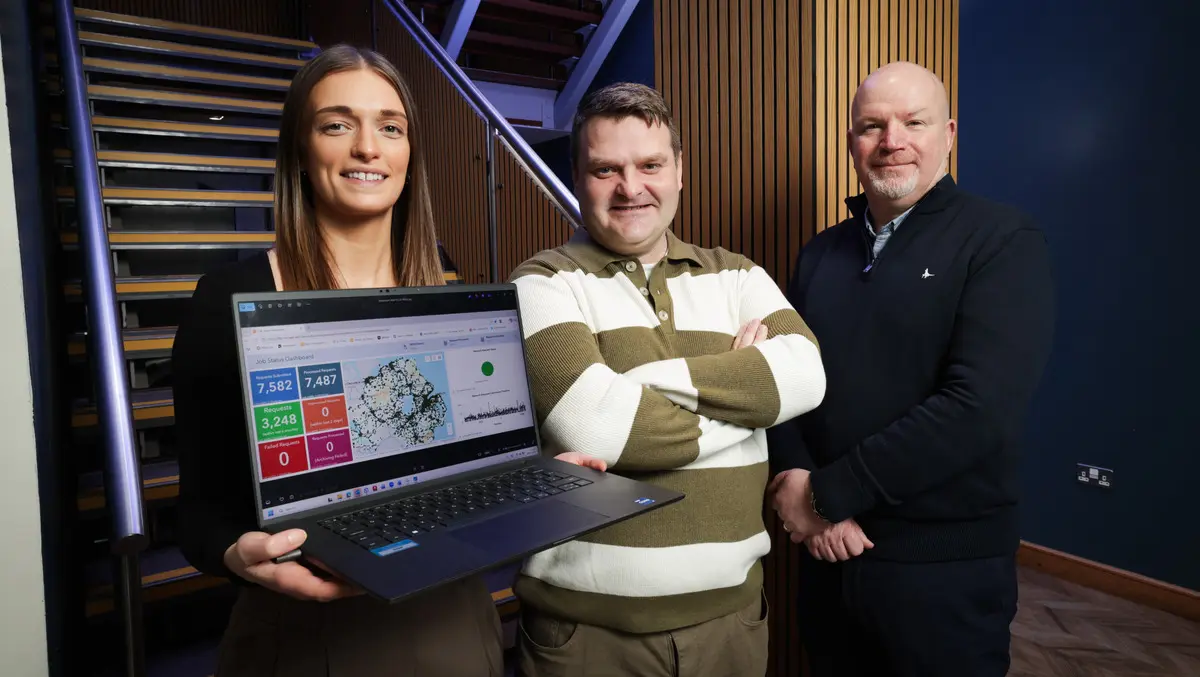
The change also affects NIE Networks' internal operations. An interactive dashboard gives teams a clearer view of planned works, helping staff monitor where jobs are taking place and respond more quickly if an incident occurs.
The system is also expected to reduce administrative work for staff who previously prepared maps manually. According to details released by the companies, the move will cut paper use by 96,000 sheets a year.
The project reflects a broader shift among utilities towards digital workflows in field operations and customer service. Network operators increasingly use mapping tools not only for asset management but also for public-facing services, particularly where access to location data can reduce operational risk.
For NIE Networks, speed of response appears to be central. Construction schedules can be delayed when information on underground or nearby electricity infrastructure is not available quickly, while late or inaccurate information can increase the risk of cable damage during digging and other groundworks.
Emily Boyd, Team Lead, GIS Technician (East Region) at NIE Networks, said safety was the main driver behind the project.
"The number one priority in NIE Networks is to improve safety around the electricity network - and that's why the new ArcGIS solution is so important. It is helping to ensure people are better informed of the locations of high voltage cables, so it's critical for us to be able to do this in a timely and efficient manner. What's more, staff can see where jobs are being done and, if a cable is accidentally damaged, they can instantly access the customer information and respond more quickly to restore the service," said Boyd.
Utility demand
Esri Ireland said the project demonstrates how geographic information systems are used in day-to-day utility operations, beyond traditional planning and engineering roles. The company provides mapping software and services in Ireland and Northern Ireland.
For electricity network operators, digital maps have become more important as infrastructure projects, home improvements and roadworks increase excavation activity. A faster request process can reduce the delay between planning a job and checking for nearby assets.
"NIE Networks provides a critical service for the continued health and safety of Northern Ireland's citizens. Our technology enables the organisation to generate and distribute crucial maps quickly and efficiently, ensuring building works and projects can commence or continue uninterrupted and with the most up-to-date data. This service will be particularly important for preventing power outages in the colder winter months amid increased potential for adverse weather," said Philip McLaughlin, Senior Account Manager at Esri Ireland.